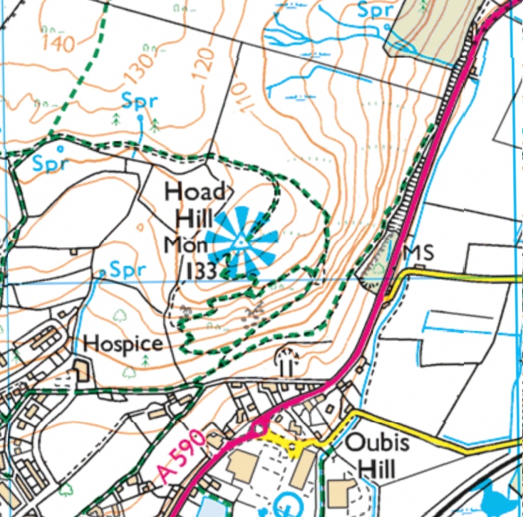
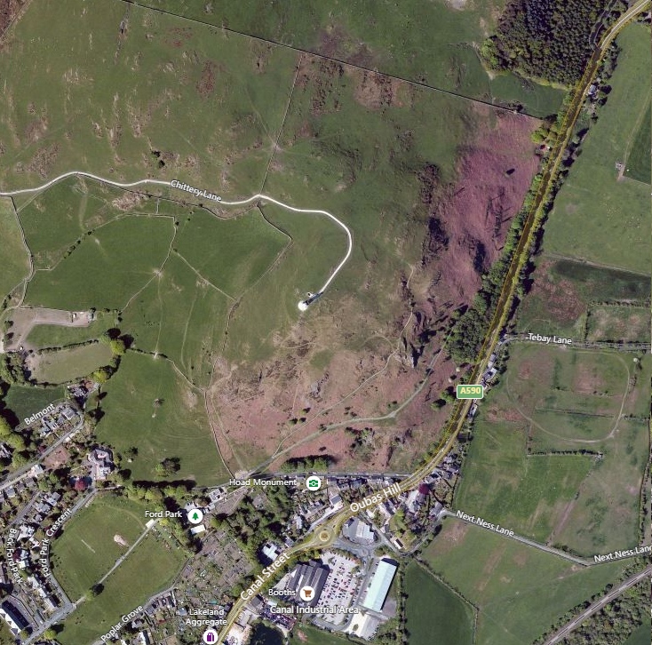
Hoad Hill, Ulverston, Cumbria
The OS map of the square and aerial view are below the model
Use the left mouse button to rotate the model
Use the right mouse button (or shift+left mouse button) to drag the model
The 'scroll wheel' to zoom
press the bottom right button on the model to go 'full screen' (recommended!)
|
|
| The model is built using Sketchfab from Environment Agency 1m DTM Lidar Data |
 |
 |
© The Friends of Castleshaw Roman Forts , 2019
www.castleshawarchaeology.co.uk
www.castleshawarchaeology.co.uk